The last two decades have witnessed a remarkable period of innovation and development in the flight simulator industry including automation of aircraft simulation. This innovation is propelled by advances in digital technologies and growing insight into human perception that helps engineer increasingly effective simulation environments. Perhaps equally important in the marketplace has been the enablement of the FAA, EASA, and other regulatory bodies around the world who have recognized the role training devices can play in reducing the cost of certifying pilots and providing students and pilots opportunities to practice a wide variety of scenarios.
The result of these trends is a market expanding in multiple directions. High-end full-motion machines are achieving levels of fidelity and verisimilitude that would have seemed the stuff of science fiction 20 years ago. Meanwhile, more modest devices are proliferating across a range of form factors and capabilities, from desktop stations to flight-deck mockups.
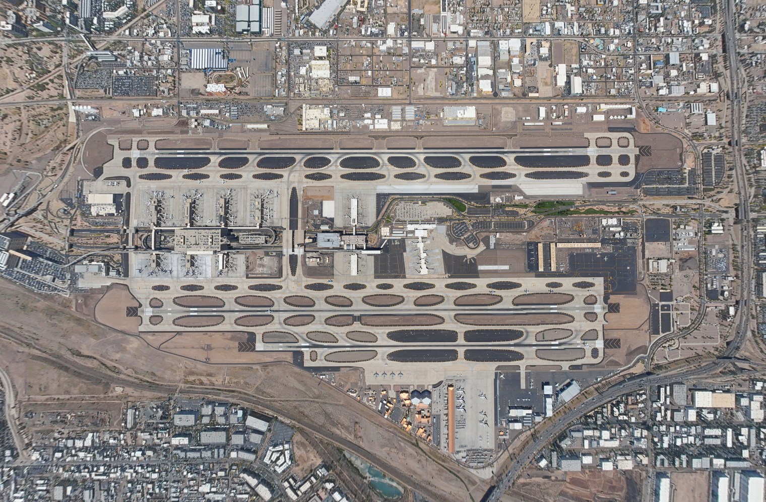
Performance Software is proud to be a leader in the automation of aircraft simulation and other advancing simulation technologies, providing the industry with the most accurate and precise airport maps data available. Our methodologies integrate terrestrial, in-flight and space-based image and survey data to achieve sub-1-meter spatial accuracy—five times the accuracy of other approaches. For simulation needs, our customizable mapping solutions support accurate, photo-realistic experiences of airports in our worldwide database.
Aviation’s Long History of Simulation
Flight simulators meet two vital needs. They provide a pilot training platform that is inexpensive to operate and lets students earn virtual flight hours. They also provide an environment to analyze pilot and aircraft performance in situations that would be too dangerous to intentionally create in a real flight, such as instrument faults, power loss, and impaired visual conditions.
The desirability of mock aircraft environments for training difficult and dangerous maneuvers is virtually as old as powered flight itself. In World War I, air gunners practiced sighting machine guns on moving aerial targets using what we might call a pre-simulator—a pivoted chassis that swayed with movement. One of the most famous early simulators, was the Link Trainer (also known as the Blue Box), developed in 1929 by Edwin Link. Link’s first machines looked like large carnival toys and used organ bellows to make the aircraft pitch and roll. The trainers were quickly embraced by the military and the fledgling aviation industry. During World War II Link produced more than 10,000 trainers.
The first modern simulators incorporating visuals and sound appeared in the 1950s. From that point the industry moved forward steadily, incorporating increasingly sophisticated simulation techniques while expanding the number of emulated aircraft available. Among the most significant trends of recent years is the movement to less expensive (and less capable) devices to meet specific training objectives. With high-end simulators costing $20 million or more, there is a good incentive to identify more affordable, equally effective solutions.
Today’s global flight simulator market is large and growing, estimated to reach $7.7 billion by 2025, representing a CAGR of 5.2%. Drivers of this potential growth include the expanding use cases for training devices, an increased reliance on simulation as an economical training alternative, and a growing demand for training as more pilots seek to enter both the commercial and military workforces.
Understanding FAA Categorization
Professional-level flight simulator and training devices are grouped into categories by the FAA according to their purpose and capabilities. Broadly, there are three categories, Full Flight Simulator (FFS), Flight Training Device (FTD), and Aviation Training Device (ATD), each with multiple levels of qualification within the category.
The FAA defines an FFS as a full-size, enclosed replica of the flight deck of a specific aircraft with motion, visuals, and all controls and indicators functional and accurate. An FFS level D, the highest level of qualification, will have a visual system that provides the view from the flight deck at night, dusk and day, and a six-degree-of-freedom motion system.
The FTD category covers a broad range of devices from basic cockpit procedural trainers with touchscreen interfaces to full cockpit environments. FTDs don’t have motion systems, but the higher-level devices use vibration systems and other techniques to give a sense of movement.
The ATD category, further subdivided into Basic Aviation Training Devices (BATDs) and Advanced Aviation Training Devices (AATDs) includes all other devices approved by FAA for training. It’s notable here that ATDs are in wide use in general aviation flight schools with their availability representing a major factor in reducing training costs and opening opportunities for more students.
Simulating Landings
Simulating landings with the fidelity needed to effectively practice comes with its own set of unique demands on simulation engines and display systems. In learning to successfully pilot an aircraft from initial approach to a full stop, pilots must develop the intuition that lets them leverage the available visual cues as they work to control their rate of descent, attitude, height above the runway, and other critical factors.
To achieve the realism needed to reinforce these skills, devices need high-resolution displays that are large enough to provide adequate vertical and horizontal fields of view. They also need the computer processing heft to accomplish such trickery as keeping the runway in the correct location relative to the pilot’s eye-point and ensuring correct three-dimensional overlays as near objects pass over objects further away.
The availability of high-quality, accurate airport maps is critical to supporting state-of-the-art landing simulation experiences. The best simulations are supported by detailed maps with high-resolution data about the terrain, buildings, and other features. Ideally, students and pilots have up-to-date information on as many real airports as possible so that they can practice and prepare for actual in-flight experiences.
Precision Navigation & Mapping™
Whether delivering training for taxi, takeoffs, or landings, Performance Software’s Precision Navigation & MappingTM family of products provides the precision data needed to bring your simulations to the next level. Our AirportMapping Database (AMDB) offers the highest degree of accuracy in the market today (sub-meter)—five times better than any other solution. Our worldwide database includes 650 facilities and is continuously growing.
Our customizable navigation and mapping solutions create photo-realistic experiences that maintain obstacles in accurately relative position. We provide critical airport details that other solutions may miss including construction areas, runway and taxiway markings, airport surface lighting, vertical structures, and hotspots. The resulting simulations achieve seamless and automatic rendering of 3D airports.
Performance Software delivers the AMDB using industry-standard ARINC 816 and DO-272 feature sets and has a Type 1 Letter of Acceptance from the FAA. Additionally, we can easily work with you to support custom formats and unique features to accommodate any need and existing framework.
To learn more about Performance Software’s Precision Navigation & Mapping™ see our product page and contact us today to discuss your airport mapping needs.