By most measures, the last decade has seen substantial accomplishments in aviation efficiencies including driving down taxi time. Continued advances in engine and aircraft design, retrofits to the existing fleet, improved traffic management, and increased utilization are just a few measures taken across the industry to keep operations lean. All told, aviation saw a 12% improvement in fuel use efficiency from 2010 to 2018 according to International Air Transport Association data. This is good news in an industry facing volatile fuel costs and ambitious international emission-reduction goals.
But surface operations have been something of a laggard in this environment of overall gains, with taxi-out times proving particularly stubborn. Congestion at airports of all sizes has led directly to a marked increase in costly delays on the taxiways. The expense of these delays goes well beyond fuel burn to include everything from crew costs to the cascading impact of follow-on delays. Green industry trends such as single-engine taxiing and emerging electric taxi offerings stand poised to reduce fuel consumption and the associated emissions but do nothing to rein in taxi time.
At Performance Software, we see tremendous untapped potential for reducing taxi time via improved surface operations logistics. The next-generation technologies to support such improvements are here and working. We simply need to continue connecting the dots and tying the key systems together. Our family of Precision Navigation & Mapping™ products provides precision map data and custom end-user solutions, supporting the situational awareness needed to optimize ground movements today while preparing for a more integrated and efficient future.
Driving Down Taxi Time: Fertile Ground for Savings
Total taxi time in any scenario is a function of many factors that include airspace congestion, airfield layout, time of day, and the weather. Taxiing out is generally longer than taxiing in because of the need to wait in the departure queue. Unfortunately, the aircraft is also heavier during taxi-out which adds to the fuel burn.
Taxi-out fuel burn is a significant component of total flight expense. Although 7% is often offered as a rule-of-thumb, this figure is an over-simplification at best. The actual percentage of taxi-out fuel burn will vary greatly, depending on the type of aircraft, length of flight, and many other factors. For short-haul trips, the actual fuel burn percentage can exceed 30%. Clearly this is fertile ground to look for savings.
Whether built into cockpit displays or embedded in standalone devices, airport moving maps are an essential tool for surface navigation, enhancing both the safety and efficiency of ground operations. These maps provide a detailed view of airport features such as runways, taxiways, and buildings, and they continuously update to show the aircraft’s position in the center of the display. They will also display the cleared taxi route, reducing confusion and enabling more efficient ground operations. The net result of the flight crew’s improved situational awareness is fewer unassigned stops, which means shorter taxi times and less fuel burn.
Integration is the Future
While airport moving maps have been a powerful force in reducing taxi times, there are further gains to be had in the integration of cockpit tools with external traffic management and communications technologies. Optimizing taxi time is a non-trivial problem that has been the subject of extensive research in the United States and internationally, with multiple initiatives in various stages of completion.
In the U.S., the FAA’s NextGen Improved Surface Operations (ISO) portfolio addresses surface movement and the related exchange of information. ISO seeks to track the movement of aircraft and other vehicles and to share that information with air traffic controllers, pilots, and airline operations managers. Many NextGen ISO capabilities are already implemented, including the NAS-wide availability of Cockpit Display of Traffic Information (CDTI) with Traffic Information Service-Broadcast (TIS-B) and Automatic Dependent Surveillance-Broadcast (ADS-B) for Surface.
One area of ongoing interest internationally has been optimization in multiple runway environments. Operational flexibility in multiple runway environments has shown capable of minimizing taxi time, fuel burn, or both. Clearly, the flexibility to safely authorize an aircraft to depart from a different runway demands controllers have substantial access to real-time data on the operating environment for surface conditions, winds, taxi routings, and highly accurate ground positions.
Precision Navigation & Mapping™
Performance Software is an undisputed leader in airport mapping data and solutions. Our Precision Navigation & Mapping™ family of products provides best-of-breed support for the full complement of mapping needs. Our Airport Mapping Database (AMDB) offers the highest degree of accuracy in the market today (sub-meter)–five times better than any other solution. Our worldwide database is continuously growing to meet our customers’ needs.
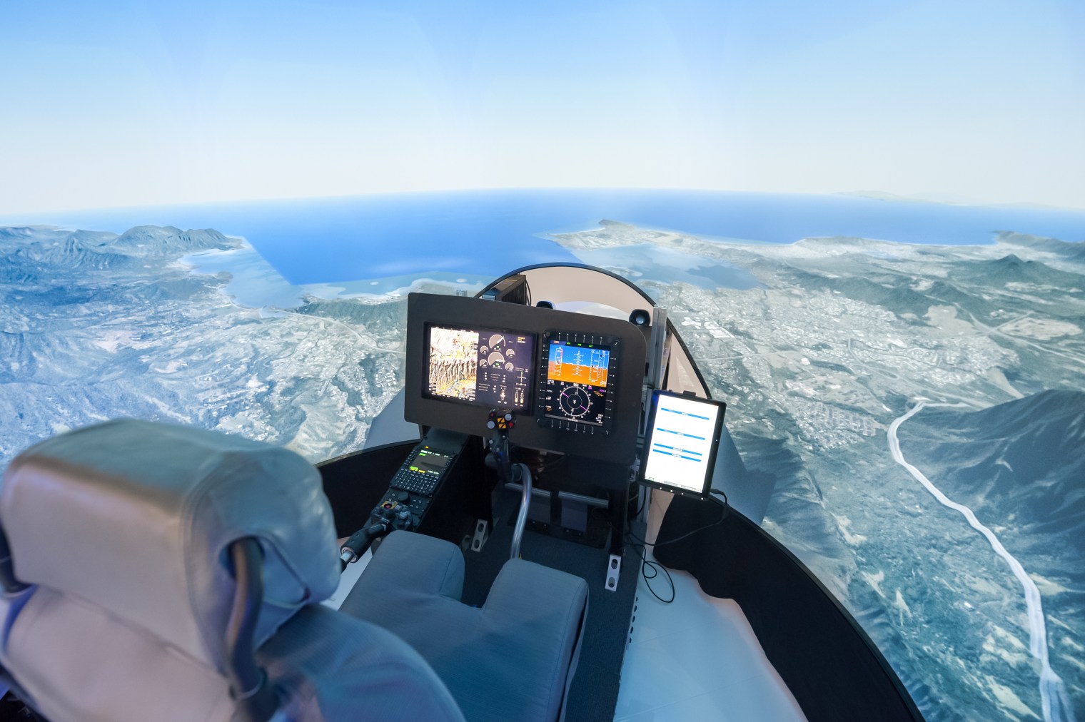
Our customizable navigation and mapping solutions are ideal for urban air mobility, unmanned traffic management, flight decks, simulators, cabin maps, and maritime freight management. For the cockpit, our high-precision, photo-realistic mapping brings the flight crew’s situational awareness to the next level. Our future-proofed flight deck solutions are also FANS enabled and auto-taxi ready.
Performance delivers the AMDB using industry-standard ARINC 816 and DO-272 feature sets and has a Type 1 Letter of Acceptance from the FAA. Additionally, we can easily work with you to support custom formats and unique features to accommodate any need and existing framework.
To learn more about Performance Software’s Precision Navigation & Mapping™ see our product page and contact us today to discuss your airport mapping needs.