What is an Airport Map and What is Its Significance
As mentioned in our previous blog, Aerodrome maps, or more colloquially airport maps, are a virtually indispensable feature of the modern flight deck. They most commonly combine information formerly found on individual static airport, taxi, and parking stand charts, providing a single integrated view with all features. Airport maps are used by operators to enhance situational awareness for improved safety and operational efficiency during on-ground or in-flight operations through avionics. They are typically rendered through various electric flight bags (EFBs) via forward displays and handheld devices.
“AMDBs provide a variety of benefits for piloted aircrafts including smoother and safer ground navigation, as well as reducing pilot stress and the likelihood of incursion and fines,” says Mike Karalewich, Performance Precision Navigation and Mapping Product Line Director.
Key Tenets of Airport Maps and How They Are Created
Regardless of how the airport map is presented, underneath the surface is an Airport Mapping Database (AMDB). This describes the layout of the airport and the geometry of its runways, taxiways, buildings, and a multitude of other features:
- Taxiways & Runways: Extensive details of runway characteristics, including dimensions, surface types, and orientations, alongside comprehensive maps of taxiways indicating access points.
- Aprons: Critical for aircraft parking, refueling, and loading, are meticulously cataloged by location, dimension, and available services, supporting ground crew operations.
- Terminal Structures: Encompassing gate positions, lounges, and facilities, is also included to enhance navigational efficiency for both crew and travelers.
- Aids & Obstacles: Data on instrument procedures and navigational aids to assist in precise and secure flying operations, and includes obstacles within airport vicinities—both natural and artificial—to aid pilots in planning safe routes.
There are four primary methods in which AMDB developers can collect the data needed to populate these airport map features:
- High-Resolution Multispectral Satellite Imaging: Multispectral satellite image data can detect land and environmental changes that are relevant for end-users’ situational awareness. Ultimately these images provide the data that enables the AMDB to match the airport’s real-world geometry.
- Aeronautical Information Publication (AIP): This helps provide the pertinent data e.g. Charts, Regulations, Procedures that inform the pilot of the Airport’s “metadata”. An AMDB would have runway geometry captured from imagery, but attributes like name, status, and pavement classification would be derived from AIP.
- Point Clouds: This method involves a collection of 3D points of a defined area representative of the Earth’s physical shape and surface features. These points are typically collected from LiDAR or stereo imagery. These points are used to create elevation models that represent the Earth’s physical shape and surface features. This method works well to provide obstacle height, density, deriving high resolution elevation data models.
- Surveyed Ground Control Point: These points are typically accurate within a few centimeters and are captured with boots on the ground. These points allow us to measure the accuracy of digital twins by comparing specific locations to its counterpart in the real world with centimeter accuracy.
Adapting Airport Maps for Advanced Air Mobility (AAM)
As new aviation technology continues to shape the industry, the AAM sector presents unique opportunities for AMDB providers moving forward. Karalewich stresses that AMDB is essential for AAM, adding that “having accurate basemaps will be the first step in this new technology and that stakeholders such as pilots and controllers will benefit from a digital twin.” Vertiports will serve as the landing and take-off pads for advanced air mobility aircraft and since vertiport designs are still evolving, airport maps will likely have to be adjusted to account for these new features and developments in the aircraft environment.
Some vertiport designs currently in industry discussion include infrastructure surrounded by water, cityscapes, or additions to current airport landscapes. Regardless of which vertiport designs are approved in the future, Performance has already begun to develop our catalogue of vertiport and heliport maps. To learn more about our current database for the future of flight, connect with us today.
Performance, a leading AMDB Solutions Provider
Performance’s airport mapping expertise goes beyond the status quo. Our Precision Navigation and Mapping Solutions includes a worldwide navigation database of dynamic digital airports, vertiports, terrain, imagery, and obstacle data.

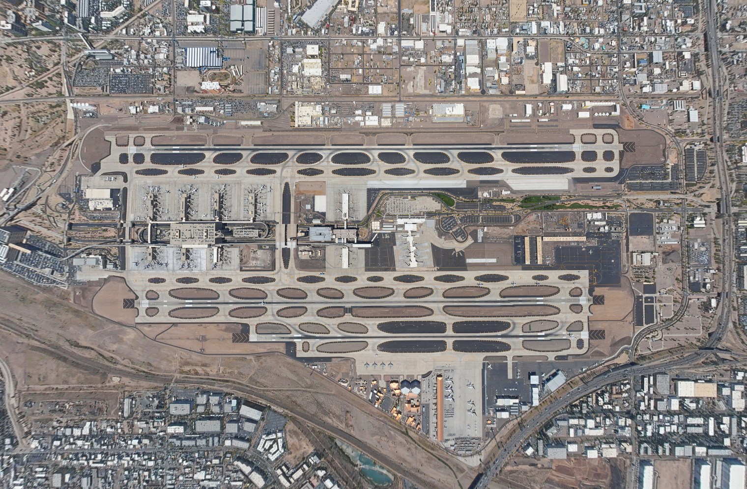
Performance’s Airport Mapping Product Images Featuring an Airport in
Los Angeles, CA and an airport in Phoenix, AZ
Partner with Performance today to rapidly develop your customizable navigation database for commercial, military, or future mobility operations.


